
Klarälvsbanan was a railway line built in the late 19th century. It was a 180-kilometer narrow-gauge railway stretching from Skoghall in the south through Karlstad, Munkfors, Hagfors, to Filipstad. The then Uddeholmsbolaget was the main owner and named the railway line NKlJ, Nordmark – Klarälvens Railways.
Klarälvsbanan
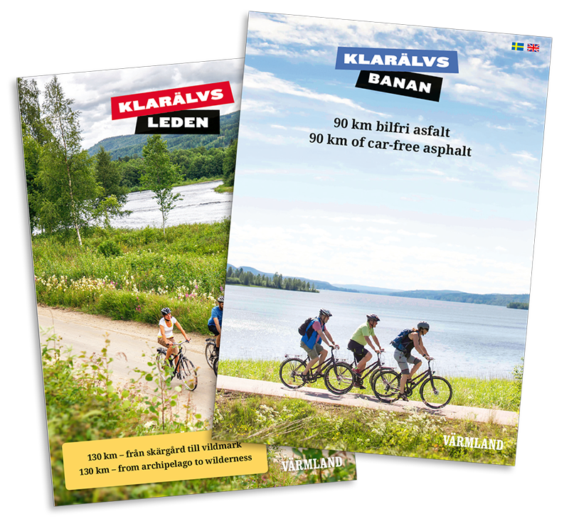
Klarälvsbanan, along with the Klarälvsleden, forms a 220-kilometer route. A bike trail through the beautiful nature of Värmland, from Hammarö in the south to Sysslebäck in the north.
Klarälvsbanan is a 90-kilometer car-free bicycle and hiking trail. An old railway embankment that has been paved over and now offers experiences for all the senses through nature, culture, cuisine, adventure, and fresh air. From Karlstad in the south to Uddeholm in the north, it provides a tour full of exciting places and stories to visit and explore.
In the deep forests around Uddeholm, the paved Klarälvsbanan ends and the Klarälvsleden begins. If you want to learn more about Klarälvsleden, follow the link.
Download maps
Here you can download an overview map for Klarälvsbanan and Klarälvsleden, as well as maps for all the sections. If you prefer a physical map, you can order one.
Maps in PDF format
Here you can download maps in PDF format for each section.